
|
Height of base: |
below 600 m (2000
ft) |
|
|
Height of top: |
5-12 km (45000 ft) (tropopause) |
|
|
Description: |
Thunderstorm
cloud, Massive, heavy; dark base; Fibrous top if
freezing ; Thunder and
lightning |
|
|
Occurrence: |
Tropical and
moderate regions, rare in polar regions |
|
|
Made of: |
water droplets,
supercooled water droplets, ice crystals in tops |
|
|
Precipitation: |
Heavy downpours;
possibly hail |
|
|
Formation: |
Unstable air,
selfsustaining convection, top at inversion of tropopause |
|
|
Species: |
Calvus,
capillatus |
|
|
How to
distinguish from … |
… Nimbostratus
(Nb) |
Nb has lighter,
steadier precipitation, no thunder or lightning, covers much of sky. Cb heavy showers,
thunder and lightning, cloud boundaries may be noticeable |
|
Cumulus congestus
(Cu con) |
Freezing in upper
layer of Cb leads to soft edges, fibrous structure Presence of
thunder in Cb |
|
|
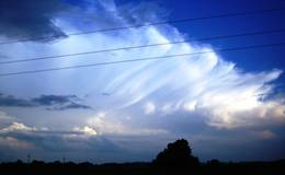
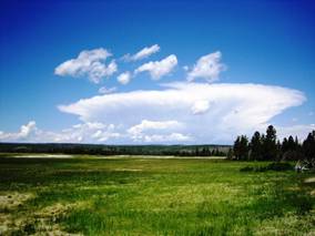
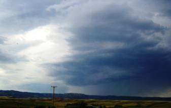
Cumulonimbus calvus with velum ( |
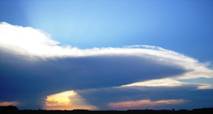
Cumulonimbus capillatus (Morris, June 2006) |
Cumulonimbus at the end of its life
cycle (Morris, June 2006) |
|
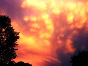
Cumulonimbus capillatus with mammatus and velum (Morris, June 2007) |
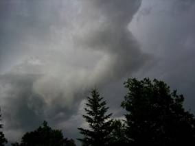
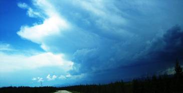
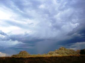
Cumulonimbus with roll cloud Morris, June06 |
Cumulonimbus cappilatus |
|
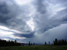
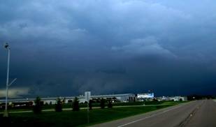
Roll cloud (arcus) in front of
cumulonimbus capillatus incus |
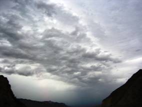
Rain core of cumulonimbus |
Inflow band |
|
Cb, |
Cumulonimbus calvus with rain core |
Backside of cumulonimbus Morris, June06 |
|
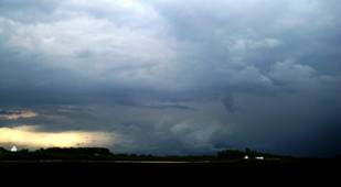
Cb with wall cloud. A brief tornado
touchdown Was observed 3 miles NE of Morris. May
2008 |
Same as left, 10 min later |
AVI
timelapse clip of SW corner Of the May-31-2008 storm. Note the horizontal rolling motion. Edge
of anvil visible toward the end of clip. View toward NW. Storm was moving from
NW. Filmed during tornado
warning. |

Last
modified: 6/1/2008
Maintained
by Sylke Boyd